Site #09: Riverlot Farms
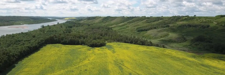
While most of the Saskatchewan prairie is divided into a rigid 160-acre square grid system, the area around Riverhill preserves a much older and rarer form of land division: the river lot system. These sixteen river lots, stretching back from the banks of the North Saskatchewan River, represent a cultural and practical approach to the land that predates the arrival of the transcontinental railways.
The Geometry of the Ribbon Farm
Each of these lots is roughly the equivalent of a quarter section in total acreage, but rather than a square, they measure approximately 1/8 of a mile wide by 2 miles long. As noted in the Saskatchewan Register of Heritage Assets, this “seigneurial” style survey was modeled after the French-Canadian systems found along the St. Lawrence River. This layout ensured that every family had vital access to the river for water, transportation, and fishing, while allowing neighbors to build their homes in close proximity along a common river road.
Fort La Montée: The Ghost of the Fur Trade
Hidden within the boundaries of these sixteen river lots is the original site of Fort La Montée. Established by the North West Company (NWC) in the late 1700s, it served as a critical provisioning post where bison meat was processed into pemmican for the northern fur brigades. According to the Hudson’s Bay Company Archives, Fort La Montée operated in close competition with the nearby Hudson’s Bay Company (HBC) posts until the two companies amalgamated in 1821. Following the merger, operations were consolidated at Fort Carlton.
A Lasting Boundary
The preservation of these lots is a testament to the resilience of the local community. During the late 19th century, many Métis settlers in the Saskatchewan valley fought to have their traditional river lot surveys recognized by the federal government—a struggle that was a primary catalyst for the 1885 Resistance. The fact that these lines still exist today on Information Services Corporation (ISC) maps is a physical victory of heritage over the standardizing force of the modern square-grid survey.