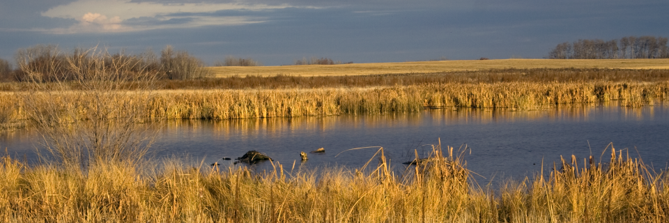
Site #24: Pothole Slough
As you look out over this marsh area, you are seeing a landscape that was sculpted 10,000 years ago by the retreating Wisconsinian glacier. This vast network of sloughs and marshes extends for many kilometers to the north and south, creating an interconnected highway for water and wildlife.
Glacial Footprints
The “potholes” you see are officially known as glacial kettles. According to Geological Survey of Canada reports, these were formed when massive blocks of ice were buried in glacial till. When the ice melted, it left behind deep bowls that now serve as vital water-collection points. Because of the local soil composition, these basins hold water year-round, preserving the original post-glacial character of the prairie.
The “Duck Factory” of North America
The Riverlands sits in the most productive waterfowl habitat on the continent. According to Ducks Unlimited Canada, this region produces over 50% of North America’s ducks. At this site, at least 200 bird species may be sighted, including breeding residents like the Northern Shoveler and migratory visitors like the Snow Goose. As documented in Saskatchewan Environment’s biodiversity reports, the mudflats are also critical for shorebirds like the American Avocet.
An Endless Marshland
This stop illustrates the continuity of the local ecosystem. The marsh system links into a chain of wetlands that feeds the larger watershed. As noted in Bridging the Years, these sloughs were once a lifeline for travelers on the Fort Carlton Trail. Today, they continue to play a crucial role in managing snowmelt and preventing flooding, ensuring the long-term health of the surrounding agricultural landscape.