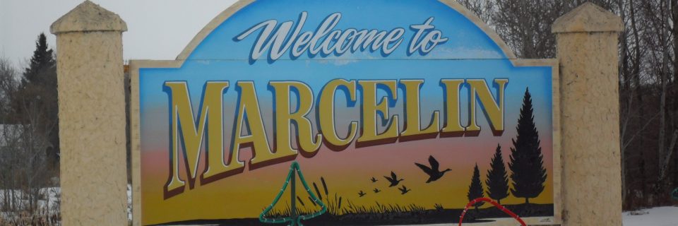
Site #27: Town of Marcelin
Situated at the junction of Highway 40 and Grid Road 783, Marcelin is a community defined by its resilience. Having physically moved its entire downtown half a mile to the west in 1913 to meet the CN rail line, the town cemented its place as a permanent fixture on the Saskatchewan map.
A Cultural Crossroads
While Marcelin was founded by French-Canadian pioneers, it quickly became a melting pot. As noted in the Riverlands Heritage Preservation Region archives, the town’s growth attracted Polish, British, and Scandinavian settlers. This diversity is reflected in the Marcelin Cemetery, where headstones tell a story of global migration. Today, the town also houses administrative offices for the Muskeg Lake First Nation, continuing its role as a regional center of cooperation.
The “Spire of the North”
The town’s skyline is dominated by St. Joseph’s Roman Catholic Church (Site #28). Completed in 1924, it is the largest church in the region. As documented in the local history book Bridging the Years, its twin spires were designed to be visible for miles across the parkland, serving as a beacon of faith and prosperity for the early settlers.
A Business and Service Hub
Historically, Marcelin was a bustling commercial center with multiple elevators and specialized stores. While the era of the railway has changed, Marcelin remains a vital service hub for the local agricultural district. According to the Encyclopedia of Saskatchewan, the town’s endurance is a testament to its ability to adapt while honoring its rich heritage.